NYC Courts
- What
- Our own product, site and identity
- Data
- NYC Open Data, NYC Parks, and OpenStreetMap courts checked against aerial photographs
- The city
- 1.08 million buildings and 898,000 street trees, in 4,056 tiles
- Live
- Since 2 November 2026
- Visit
- nyc-courts.pages.dev
What it is
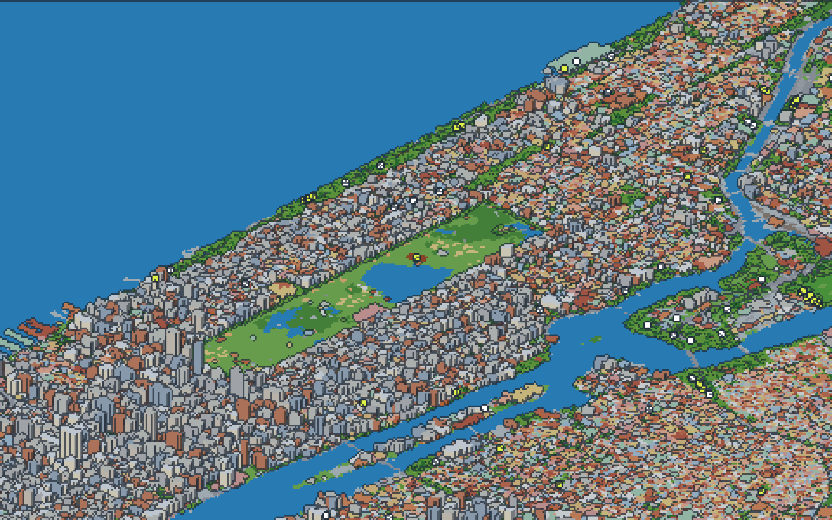
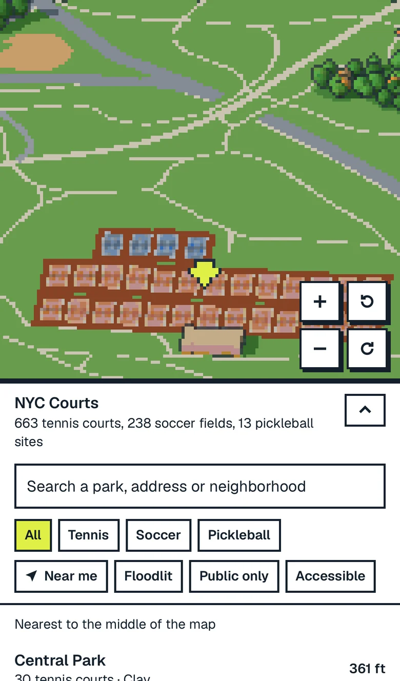
Every public tennis court and soccer pitch in the five boroughs, on a pixel-art model of New York drawn from the city's own open data. Search a park, find the courts nearest to you, and read the permit before you go.
What was hard
Holding the city together at every zoom. Close in, it is drawn building by building from the city's footprints; further out the same tiles are baked down into coarser blocks, so it never turns into a flat map. And trusting the data: plenty of what the open data calls a field is a lawn, so only NYC Parks' own facilities, and the courts we checked against aerial photographs, made it in.
How it runs
As a static site: the city ships as 4,056 tiles that load as you move, on a phone as well as a desk.